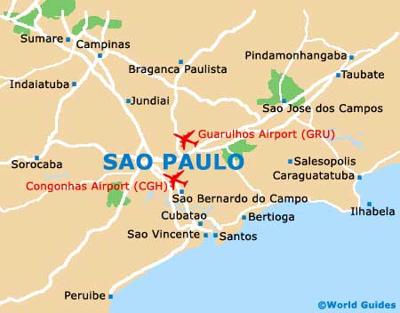
Congonhas Sao Paulo Airport (CGH)
Orientation and Maps
(Sao Paulo, Brazil)
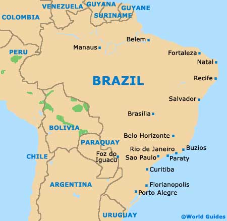
The state capital, Sao Paulo is located in south-eastern Brazil and home to a population of more than 11 million people, with almost 20 million inhabitants living in the Greater Sao Paulo area. Sao Paulo features many large rural areas and is amongst South America's biggest cities.
On the southern side of Sao Paulo, Congonhas International Airport (CGH) is the city's number two airport, after Guarulhos International Airport (GRU). Serving some 17 million passengers each year, Congonhas Airport opened in 1919 and is known for its outstanding 1950s-style architecture.
Sao Paulo Congonhas International Airport (CGH) Maps: Important City Districts
In total, the city of Sao Paulo has 31 different boroughs, each of which is further divided into small districts and neighbourhoods. Amongst the most prominent areas, the Aricanduva neighbourhood lies on the western side of the Aricanduva River, while the Butantã borough is located close to the Pinheiros River and is home to the Morumbi Soccer Stadium.
Full of history, Sao Paulo's Ipiranga borough is sited alongside the Ipiranga River is and features many tourist attractions. Highlights include the Parque da Independência (Independence Park) and also several notable museums, such as the Zoology Museum. On the northern side of Sao Paulo, Jacana is a prominent borough and includes the Tremembé district and the huge Cantareira Park. To the east, the Penha area is especially historic and known for its church, the Nossa Senhora da Penha.
Brazil Map
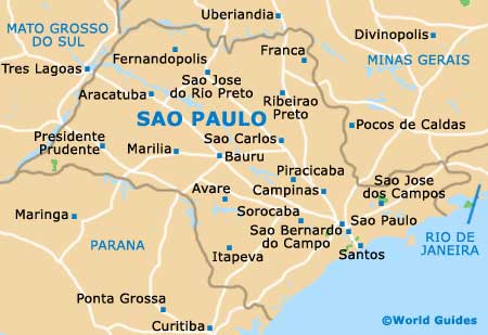
Sao Paulo State Map
Sao Paulo Map